
| Difficulty level | moderate-difficult |
|---|---|
| Elevation gain | approx. +400 m, approx. -1200 m |
| Duration | approx. 6 hours |
| Other features | very scenic |
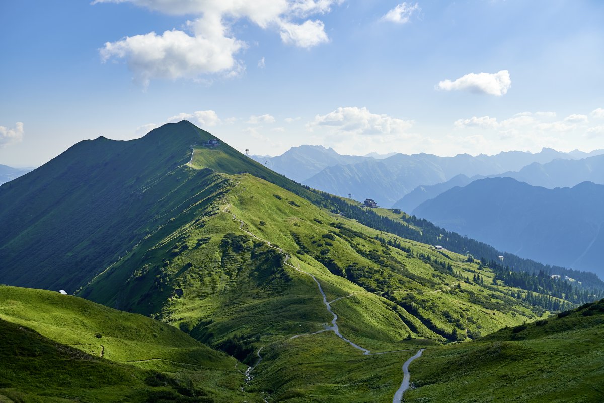
A summit rarely comes alone
On this trail, you'll cross several peaks at once. Starting at the Kanzelwand mountain station, the route continues over the Fellhorn summit, Schlappoldkopf, and Söllerkopf to the Sölleralpe. Detailed directions for the individual sections can be found under Trail 1: 2-Country Circular Trail and Trail 4a: Fellhorn Ridge Hike. For the latter section, from the Fellhorn summit to the Sölleralpe, sturdy, ankle-high footwear and surefootedness are essential.
It gets easier
From the Sölleralpe, the hiking trail continues at a more leisurely pace. Here, the trail partially follows a forest road and gravel road to the Söllereckbahn cable car. From there, it continues via the Schrattenwang Alpe towards Riezlern. While this trail isn't technically very demanding, it still requires stamina for the final stage. Detailed information about this section can be found under Trail 28: Söllereck - Riezlern

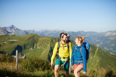
The well-developed circular hiking trail offers an excellent opportunity to get to know the diverse two-country region.

The panoramic ridge walk offers exciting highlights, but is more challenging than route 4.

Panoramic hiking trail to Riezlern in the Kleinwalstertal valley. Return by Walserbus (every 10 or 20 minutes) | easy | approx. 2 hours


