| Difficulty level | moderate-difficult |
|---|---|
| Elevation gain | approx. +400 m, -1200 m |
| Duration | approx. 5 hours |
| Other features | very scenic |
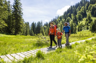
Charming ridge hike
This trail starts off more alpine, but becomes more comfortable towards the end. You'll cross several peaks at the beginning: The Fellhorn summit, Schlappoldkopf, and Söllerkopf are located directly on the ridge between Germany and Austria. You can find detailed directions for this section under Trail 4a: Fellhorn Ridge Hike. For the latter section, from the Fellhorn summit to the Sölleralpe, sturdy, ankle-high footwear and surefootedness are essential.
Relaxing end with a cool down
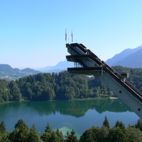
Once you reach the Sölleralpe, the trail continues along a forest or gravel road on the circular hiking trail. Once you reach the Hochleite, the trail continues towards Freibergsee and the ski jump. Here, you can cool off in Freibergsee or visit one of the largest ski jumps in the world. The route returns to the Fellhornbahn valley station via the small hamlet of Schwand.
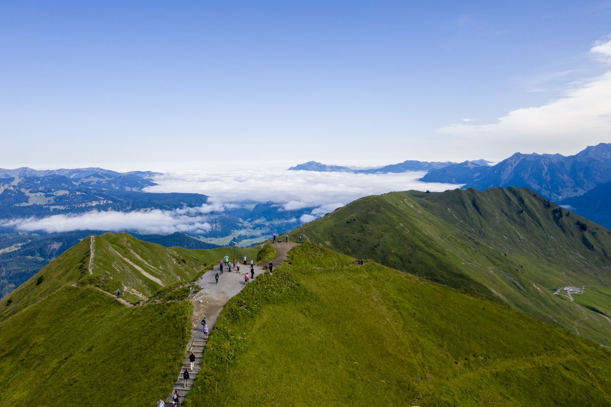

The panoramic ridge walk offers exciting highlights, but is more challenging than route 4.
Many wonderful views from the hiking trail at the Söllereckbahn mountain station to the highest bathing lake in the Allgäu - the Freibergsee.


